Our drive to Alaska started at Whitehorse. We continued west on the Alaskan Highway (formerly known as Alcan Highway for the Alaska Canada Highway) to the town of Beaver Creek, near the Alaskan border, to stop over for the night. On the way we stopped at Yukon cultural centres in Haines Junction (the DA KU Cultural Centre of the Champagne and Aishihik First Nations) and the Kluane Museum of History. We found about these and the 30 odd other places to stop and explore through Yukon’s Explorer’s Passport. The passport acts as a contest entry form for winning one or more troy ounces of Yukon Gold. We stopped at 25 of the sites which made us eligible for the prize of 2 ounces of gold. The passport also made us aware of Yukon’s places of interest, places we never would have known about, and enabled us to learn about the several First Nations that live in the Yukon.
 About 2 hours out of Whitehorse we came to the town of Haines Junction where we turned north west and followed the north border of the Kluane National Park and Reserve. That route provided beautiful views of the Saint Elias Mountain Range out our left windows and just as beautiful views and photos of Kluane Lake out the right side.
Our stop at Burwash Landing was to take a look at the Kluane Museum of History. This museum offers information on the animals of the Yukon as well as information on the First Nations. It displays stuffed animals in the exhibit cases and they are excellently done. The First Nations articles include the traditional clothing and bead work which are equally done. 
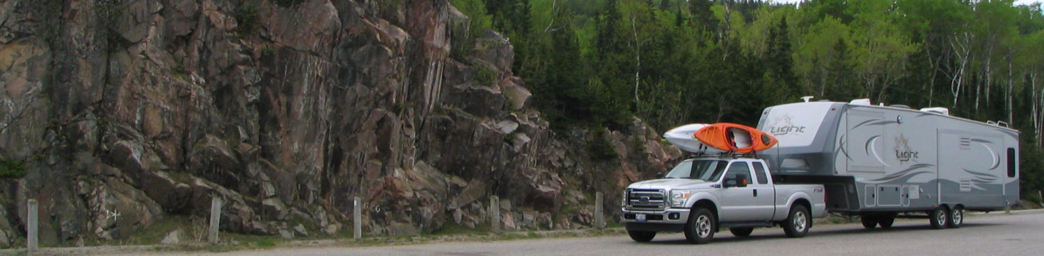
We ended our day’s drive at the Yukon Information Centre in Beaver Creek where we got more info on the road conditions into Alaska. The highway got worse the closer we came to Beaver Creek. The frost heaves in the road made for a slow, bumpy, and rippled drive. Apparently the US and Canada have an agreement to combine their efforts on major repairs on the Alaskan Highway on both sides of the border. They still haven’t come up with a method to prevent the permafrost from heaving under the roadway. This year they were digging deep and installing a layer/layers of blue Styrofoam as insulation. I had no idea a 5th wheel hitch could flex as much as it did each time we were detoured into a ditch aka temporary bypass.
 The next day we were off to Alaska and were quite surprised when we passed the Canadian Border Services check point about 20km in from the border. Beaver Creek doesn’t have much to offer but I guess it is better than being an extra 20km away. The road continued in its ripples, heaves, and holes right through the US side and on for many miles after. The highway is built along the sides of hills and mountains which provide nice views of the country. Lots of water; lakes, rivers, and swamps and no guard rails to keep you from going into the drink. In a couple of hours we were gassing up in the town of Tok (pronounced Toke – long O sound), Alaska which seemed fitting to a child of the 60’s.
After filling up in Tok, Alaska we turned south on the Richardson Highway and headed to Valdez. The Richardson suffered from frost heaves as much as the Alaskan Highway did, but this one seemed to be ahead on the repair work. Throughout the day’s drive we noticed there wasn’t very many places that had guard rails installed. Didn’t matter how steep or high the drop was or how tight the corner. In one place we saw the remains of a tractor trailer that had gone over the side, trailer torn open and contents gone. It would have taken a couple of heavy lifts to raise up the cliff, maybe they thought, “Why bother”? It started off cloudy, then light mist in the mountains but cleared as we drove further south. A lot of the hwy was fenced by tall trees so not much was to be seen.
As we got closer the Valdez we began to climb into the mountains. One of the reasons we decided to head this way was due to the descriptions of the drive and they were not wrong. Snow capped – ice streaked mountains, high mountain pass, glaciers, rivers, waterfalls, and canyons. They left out the construction, heaves, dips, swerves, but it was a sight to see. Thankfully the roads have lane paint. Breaks in the paint seen from a distance means bump(s) coming up, usually downhill, just before a curve.
Climbing up the mountain to Thompson Pass was a chore for the truck’s transmission, but nothing like the drive back down, but brother, what a view. There is a glacier near the pass that you can get out and walk on. While sitting in the truck waiting for the escort truck to lead us through the road construction we watched through our binoculars and camera a group of people walking, slipping, falling, regrouping, assisting, and try again that climb. I’m still amazed at how well our little camera zooms in. Check out the photos here. After dropping a 1000+ metres from the Pass you drive into the amazing Keystone Canyon. It follows the river, skirts the original and abandoned road tunnels, gets narrow, has 2 beautiful waterfalls (right beside a lookout parking area), and leads you into Valdez.
See our blog on Valdez.