May 22-24. Chutes Provincial Park is in the town of Massey about an hour west of Sudbury. The drive from Kilbear Provincial Park was just over 3 hours. Heading north, away from Toronto, on the Monday of the May long weekend is the way to go. The highway was ours for most of the time. The changing scenery from the Muskoka cottage, forests, and cut rock made it a pleasant drive. The stretches of rock blasted in order to somewhat level the road offered the best scenery. The closer to Sudbury the more prevalent and taller they became. The numerous layers, varying colours, and mix of waves and sharp angles of the rock layers tempt you to stop and take pictures. Given the number of inuksuit (plural for inuksuk) stacked along the highway many did stop. We stopped for gas in Sudbury and while filling the truck I chatted with a guy about trailers as he filled his boat. He spoke highly of the Chutes Park and others in the north as well. He liked the deep, clear, rocky lakes and the fast moving rivers over the parks in the south. 
The relaxing drive coming into Sudbury ended when we were west of Sudbury. The rain started again and the pavement felt like corduroy, miles and miles of corduroy. Pretty sure this section of the road will settle everything in the trailer. Miles of tree lined road, then a house, then more miles of treed road and a building. Spending the last 4 decades living cookie cutter subdivisions of Toronto’s bedroom communities I can’t help but ask, “What the heck do you do up here”? I noticed the mile markers on the road side. The first one I noticed was 1538 km. I was still thinking of Highways 400 and 69 and figured that can’t be right. The next was 1537 and then it dawned on me. We have over 1500 km to go before we leave our Province, and we’ve driven over 1600 km since we left home on April 30. Hope the roads departments further west have a roller.
Chutes is not a large park but the campsites are and the treed space between the sites is larger. The forests here were clear cut by those that settled this area. The trees now here were planted and the long straight rows of the tall pines, while foreign in a natural forest, is appealing. No problem getting our trailer and truck into the site. The main attraction to the park is the River aux Sables and its 21 sets rapids and waterfalls. At the end is one last waterfall with a wooden lookout deck. Just downstream, in a calmed area, is a bend in the river and a designated swim / beach area.

From one of the many vantage points
During high water, like today, the beach area is an island separated by a shallow 10 foot section of water. The sound of the water cascading over and through the narrowing channels can be heard from the campsites. Funny thing about rushing water; you can just stand and watch it for ages. Rafting the river looks like it would be fun – except for the jagged r
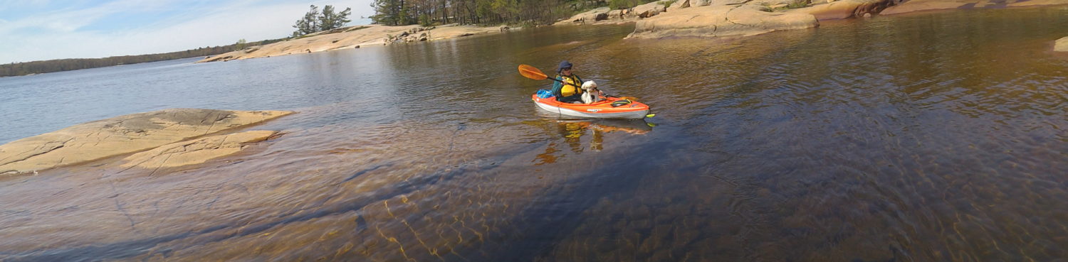
Hiking the trailsock walls. Not a lot of give to them. The stretch of rapids and falls is just over 1 km long. A skilled kayaker could shoot these. Our kayaks stayed strapped to the truck’s roof racks.
The trail circles the rapids, takes you over 2 bridges, and provides dozens of viewpoints; each one providing a different view and a better photo opportunity. We took over 300 photos and videos. Thanking the digital camera inventor here. The trail is well marked, about 6 km long, and takes you through some of the forested and rock outcrop areas as well. We saw rocks here that I’ve never seen before. Some have an oily sheen to them and others, if caught in the correct light, appear give off a rainbow coloured reflection.

Another vantage point view
We finished our day with a BBQ and camp fire by the trailer. So far we have been lucky with the bugs. They’re only a minor nuisance. We seem to be travelling just ahead of them. Another lucky part is the Trilliums are still in bloom. In every park we’ve visited travelling north the Trilliums are in bloom.