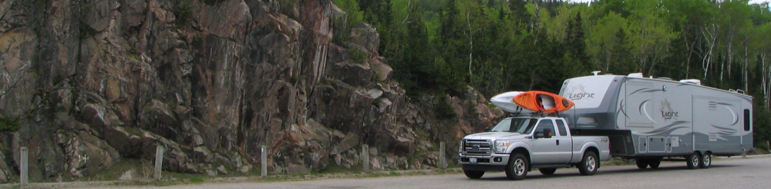
Our wish was granted when we left Chutes Provincial Park; the highway was smooth. The closer we got to Sault Ste Marie the steeper and higher the hills became. The scenery changed as well. The pine trees looked different and there was less visible rock on the road sides. We passed through small towns and villages that were once more populous when mining and logging was a going concern. It rained most of the drive so we didn’t stop along the way. Some of the towns were still closed as we left Chutes at 8 am. As we drove Jennifer claimed that she had never been this far ‘west’ by road. I have been once, in 1975 I think, when I went to Manitoba to visit my sister. I did recognize many of the small towns we drove through or by from my days working for a company that supplies parts and machinery for the mining and logging industries. Many of the parts shipped to the customers went by Grey Hound bus to Inns, gas stations, or restaurants where they would be dropped off. The town of Blind River is larger than I thought it would be. It has one of the museums that we passed by; all closed due to the time of day and, maybe, season. Highway 17 follows the Blind River west of town. There was an obvious current to it due to the spring runoff but no rapids. It is an area we plan on returning to as there are numerous Provincial Parks to explore along today’s drive.

Pancake Bay’s beach
We stopped off for lunch, gas and, groceries on the east side of the Sault. We filled up the truck’s gas tank, about 60 litres of gas for this morning’s 200 km trip, and then continued another 70 kms north on Highway 17N to Pancake Bay Provincial Park. We’re definitely in Northern Ontario now as we are on the flip-side of the Ontario road map. The park takes up the narrow strip of land between the highway and the beach of the north shore of Lake Superior. It does extend on the land side of the highway but not for camping. The park is about 3 km long and has a sandy beach the full length of it looking on to Lake Superior through the Pancake Bay.
 Along the highway were many road signs for various attractions and restaurants. One place that spent some money on quality and quantity was the Agawa Store and Canadian Carver. It was about 1 km from the park so after setting up camp (push a few buttons) we drove over to check it out. It is, probably, the best highway trapper store in Ontario. It won the honour in 2015. The wood carvings, pelts, and works of local artists are good quality. Jennifer bought one piece to hang in the trailer. The bugs were light again so we walked the park, spoke to a woman relaxing on the beach (she is a nurse and her husband is a police officer), and hiked the trail. The interpretive signs along the trail explained the rock and trees at the various levels. The soil here was rocky, small pebbled to large shed sized, and sandy. The signs explained the different levels are from ancient beaches; the parks we’re staying at seem to have a common theme. One rock, a conglomerate, looked man made. It was comprised of thousands of small stones and pebbles and mud pressed together into one giant rock. It was created about a billion years ago.
If there is a drawback to this park it is its proximity to the highway. You can here the trucks passing in the night, as well as the drivers in a hurry that honk their horns at the campers slowing to turn in and out of the park. Who knew people from Toronto drove this far? We managed to get a hold of an old friend who has returned to the Sault to live. We may be altering our return route and date in order to meet up with he and his wife.